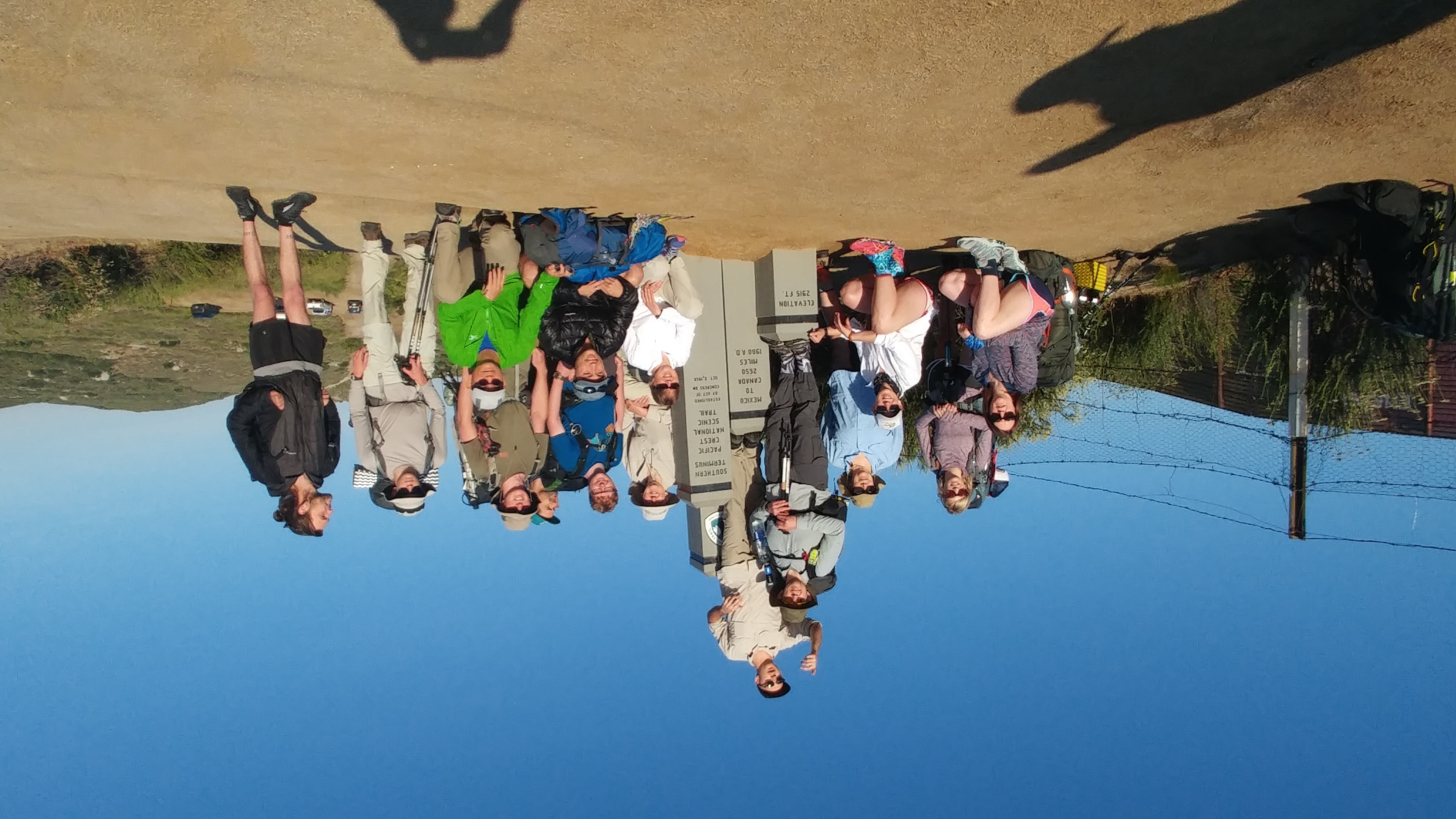
I was recently asked by a friend considering hiking a section of the Appalachian Trail for suggestions regarding which section to hike. Judging by search queries which hit this site it seems reasonable to think that a response might be generally useful to a general web audience, so I’m posting mine here for the benefit of all. Everyone who backpacks does so differently, with an eye to different things, so keep in mind this is a very biased view toward what I remember and what I liked, colored by my experiences meeting people on the trail and in nearby hiker hostels. I’m sure there are some masochists who would love to backpack for a week in Maine if they were looking to backpack a section of the A.T., but I doubt the average reader is one of them. Also keep in mind it’s a thru-hiker’s reminiscences; don’t expect to cover the ground I did with the ease with which I covered it. That said, I do think Massachusetts through the start of Virginia really is pretty flat and don’t think that’s bias except in the sense of having the experience of seeing the rest of the trail.
Maine
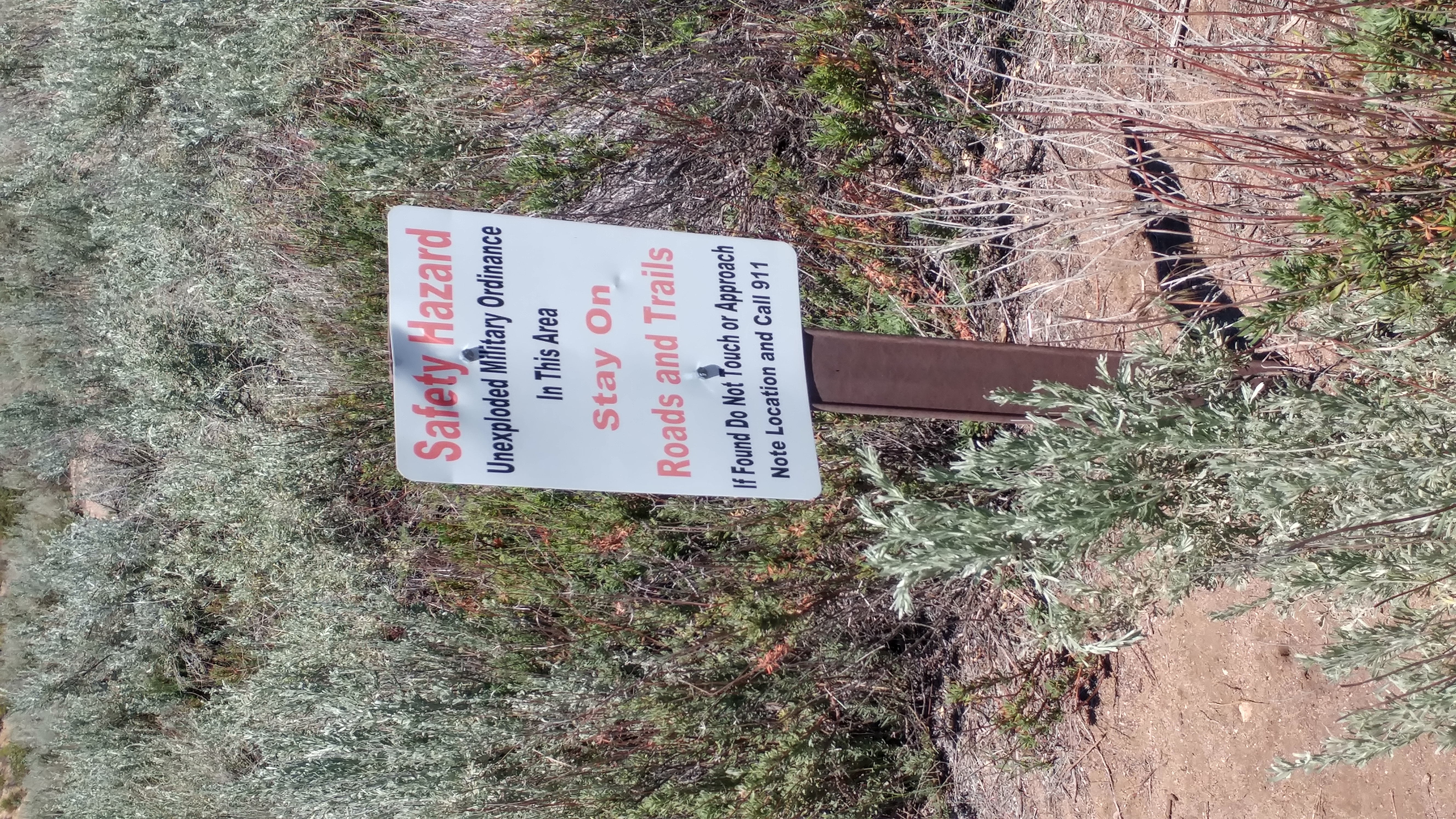
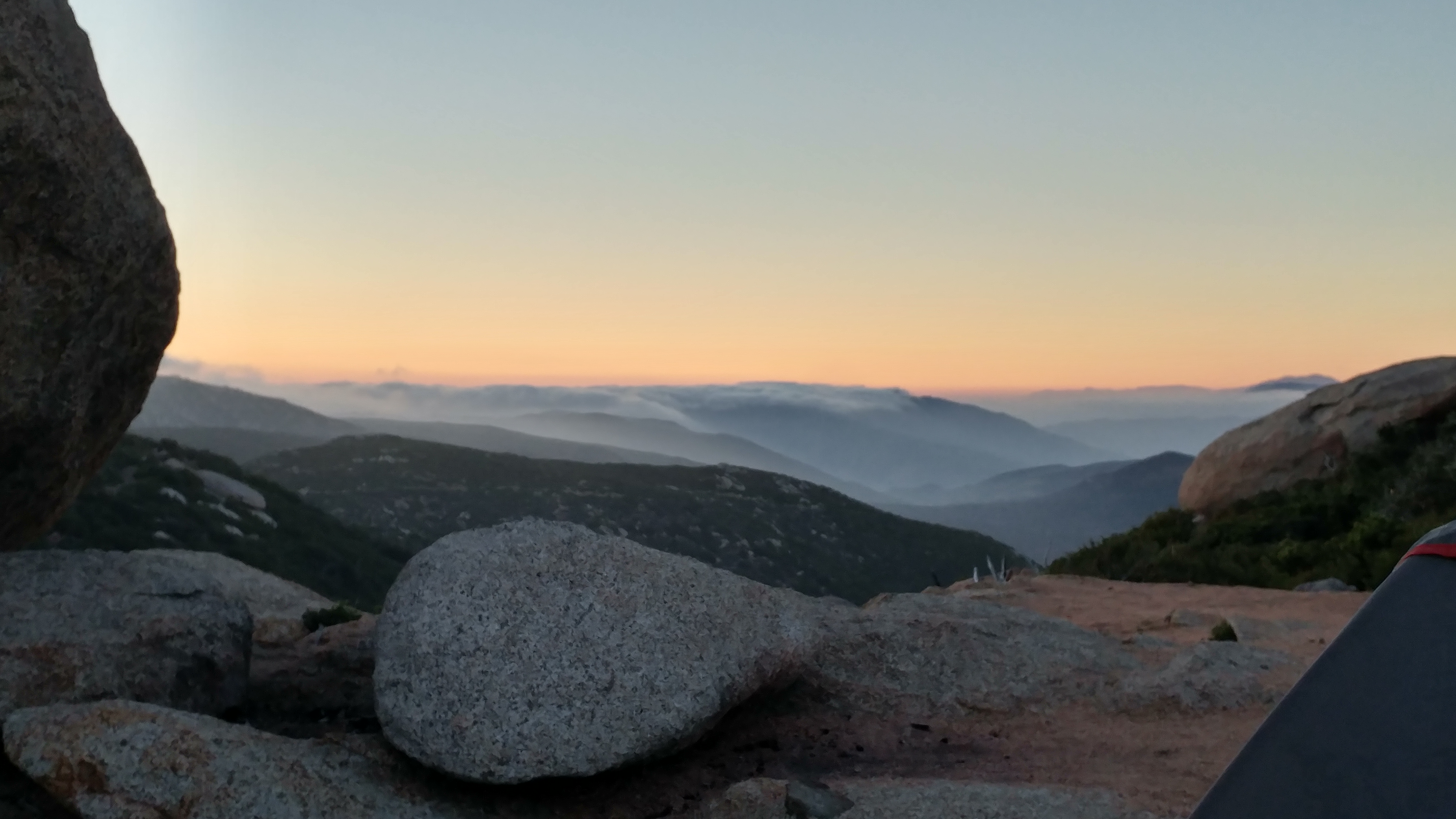
Maine is pretty rugged and remote, which makes it more of a pain to travel through. Maine also doesn’t know about switchbacks. No, I’m not kidding; the first one I remember seeing was about 350 miles into the trail out of Maine and in the White Mountains. Mainiacs and the Maine Appalachian Trail Club just don’t care (or, more likely, they just don’t know that the idea of a switchback even exists 😛 ) — they like their trails to go straight up the sides of mountains. That said, if you’re willing to put up with constant elevation changes in short distances, there are some nice views and summits through it. You can’t get especially far through it in a short hike, tho, so I’d probably avoid it.
New Hampshire
New Hampshire has the White Mountains; they’re cool, but the trail goes through an area in which the Appalachian Mountain Club has a monopoly on camping space, and they charge you for it. The spots aren’t well spaced, either, so it takes a bit of effort to get from site to site if you’re backpacking. They cater to, er, “rich weekenders” who then stay at their “huts” with minimal amenities and food provided at $100+ a night, hiking between huts during the day; backpackers are second-class citizens at best (especially if you’re not a thru-hiker). South of Glencliff and the end of the Whites is kind of nice, but it’s nothing special; my best memories of it were for the Dartmouth Outing Club that maintains that section. They were awesome, but the trail through there isn’t very noteworthy otherwise.
Vermont
Vermont was my favorite state of the trail. It was a bit muddy and rainy when I went through, but otherwise you have nice forests to walk through, good views, and reasonable trail without the ridiculous inclines of Maine. Depending how far or much you want to hike, another alternative to hiking a section of the Appalachian Trail is to hike the Long Trail (or a section of it), which goes ~280 miles from the MA–VT border up to Canada. The first hundred miles of that heading north are shared with the A.T. (so you could hike a section of both!), and I suspect someday I’ll head up to VT and hike it in a long vacation.
Massachusetts
Massachusetts has good blueberries around mid- to late-summer, but it’s not a very remote section of trail. Upper Goose Pond Cabin is not to be missed, particularly if you’re a thru-hiker, the Shays Rebellion monument is cool, and the last ten miles or so along a ridge has a great view, but it’s not that much of a state for the A.T. overall. It’s also hyper-paranoid about campfires and camping, so you’re stuck to camping only in designated sites rather than having the flexibility to bivouac — and no campfires in the state along the trail.
Starting with Massachusetts and going through into Virginia is the flattest section of the trail with especially easy hiking. It’s also not a very remote section of the trail, so if you want to get away from civilization it’s not the best way to do it. That said, you’re away from most people and most civilization, so it’s not at all bad; I never felt I was around too many people.
Connecticut
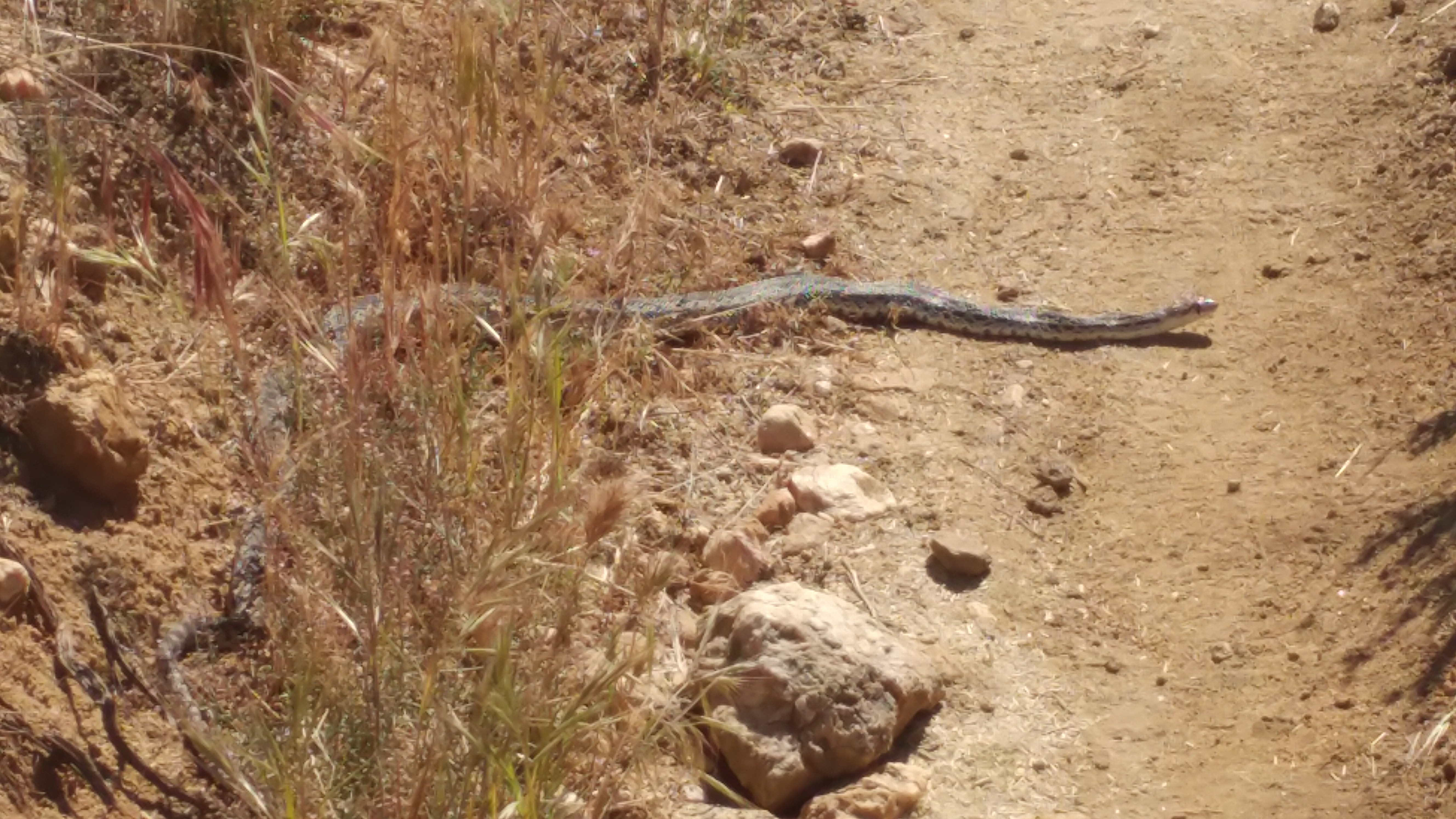
CT doesn’t have much trail, and it has the same camping/campfire paranoia. The only real noteworthy thing I saw there was a rattlesnake, but those are easy enough to find in other sections of trail at the right times of the year. Again, as mentioned previously, it’s also pretty flat.
New York
New York is pretty short; most of it felt like walking over rolling hills with large, sparsely placed rocks. It restricts camping to sites and campfires to established spots at designated campsites (only the latter of which I find reasonable). I didn’t think NY was that great for its A.T. section, personally. If you arrive during business hours (my guidebook said I did, the employees said I didn’t, guess which suit was trump) you literally walk the trail through a zoo, but that’s a novelty, not a selling point for choosing to hike there.
New Jersey
New Jersey is also short and very flat. The highest point in the state is just off the trail, around 1500 feet or so. This is where the trail starts to get really rocky, and it’s not much fun walking over it — makes footing difficult and impedes usual walking progress. The best part was a stop off the trail at a local mayor’s house (he opens it to thru-hikers), a stop which I had been anticipating since hearing of it nearly 700 miles previously from the first group of northbounders I met (so incredibly noteworthy), but I mention this only to say that NJ wasn’t entirely uneventful.
Pennsylvania
You don’t want anything in Pennsylvania because the trail is so rocky. As I recall the explanation was the trail area was clear-cut way back, topsoil got washed away, and all that was left were rocks — rocks with little elevation of any sort and not many views. I enjoyed various non-trail parts of the state (perhaps most notably the Doyle hotel in Duncannon and 501 Shelter where you can order delivery pizza — I kid you not), but that’s probably because I have a hard time really disliking things; I’m usually quite apathetic.
Maryland
I don’t know much about Maryland; I walked through it in a day with barely a stop. There’s nothing special to it in terms of trail that I recall, although I wish I’d been able to stop at the George Washington monument (not that one) and the backpacker campsite replete with a bathroom with showers and flush toilets just a few tenths of a mile from a restaurant (no, it wasn’t a mirage).
West Virginia
West Virginia’s section of trail is short and not too featureful as far as the hiking goes. You walk past Harpers Ferry and that’s about it, excepting a stretch where you basically follow the state line with Virginia for ten or so miles, and that’s not too memorable except for being termed “the roller coaster” for having a series of ten hills to climb and descend without any views, due to the narrowness of the trail corridor in that section.
Virginia
Virginia’s a huge state trail-wise; you can get pretty much anything you want in the way of trail through there save above-treeline hiking.
The first fifty or so miles are uneventful save for the Blackburn Trail Center (summer home for a caretaker who makes thru-hikers feel welcome) and its accompanying camping/shelter and the Bear’s Den Hostel, both awesome places (only wish my schedule had allowed for staying overnight at both places as they’re about five miles apart; I heard of others who did). Next is Shenandoah, which I passed through fairly quickly; its claim to fame is a preponderance of black bears (they’re vastly more afraid of you than vice versa) and hordes of near-tame deer due to stupid tourists feeding them. (I had an encounter with a deer on the trail where it wouldn’t move off the trail when I was ten feet away from it shouting at it.) You need a permit to hike through, but I don’t think it costs anything as long as you walk in (but I don’t recall exactly the details or how that applies to section hikers). I’d not hike through Shenandoah as it’s too full of people.
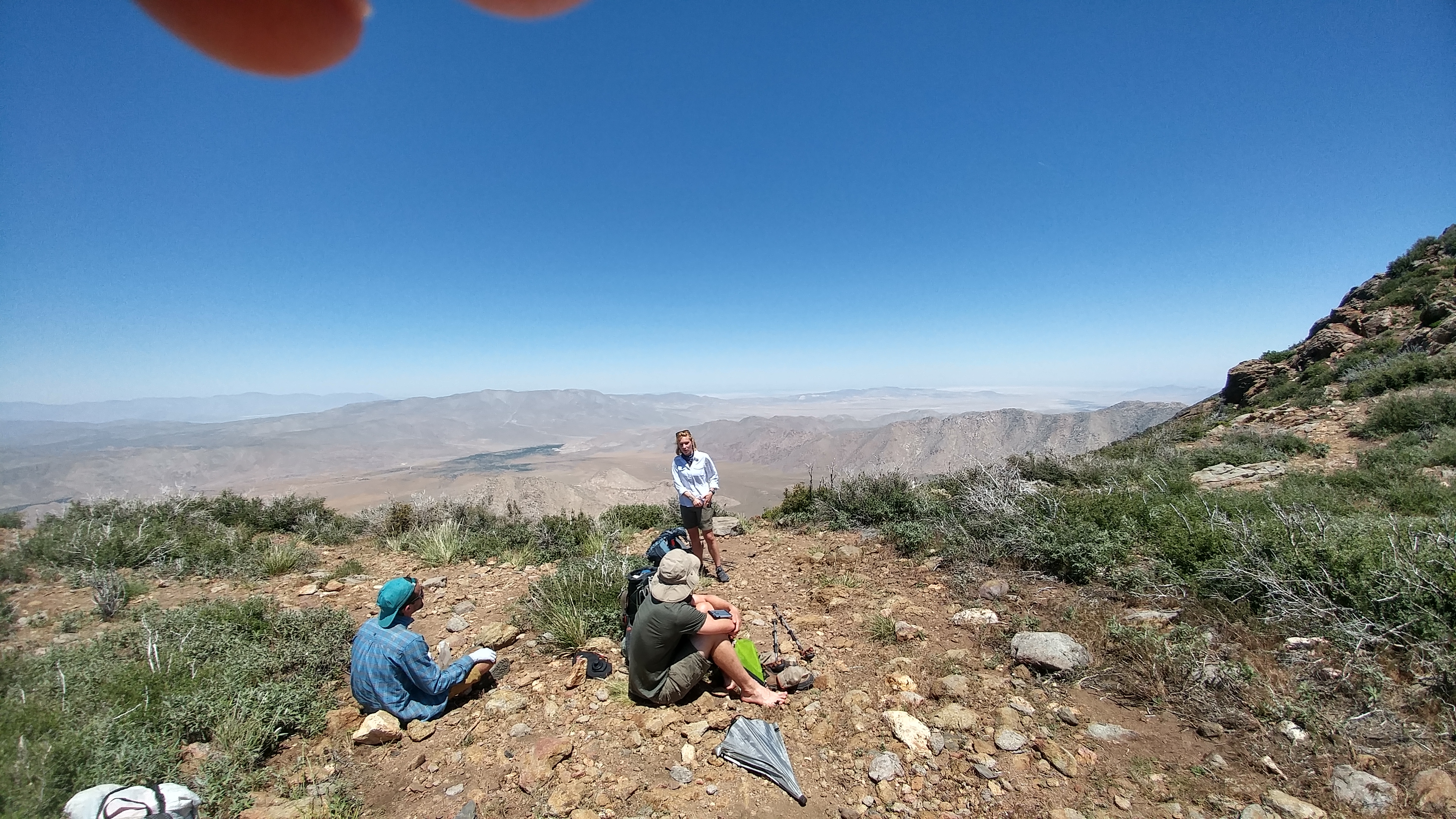
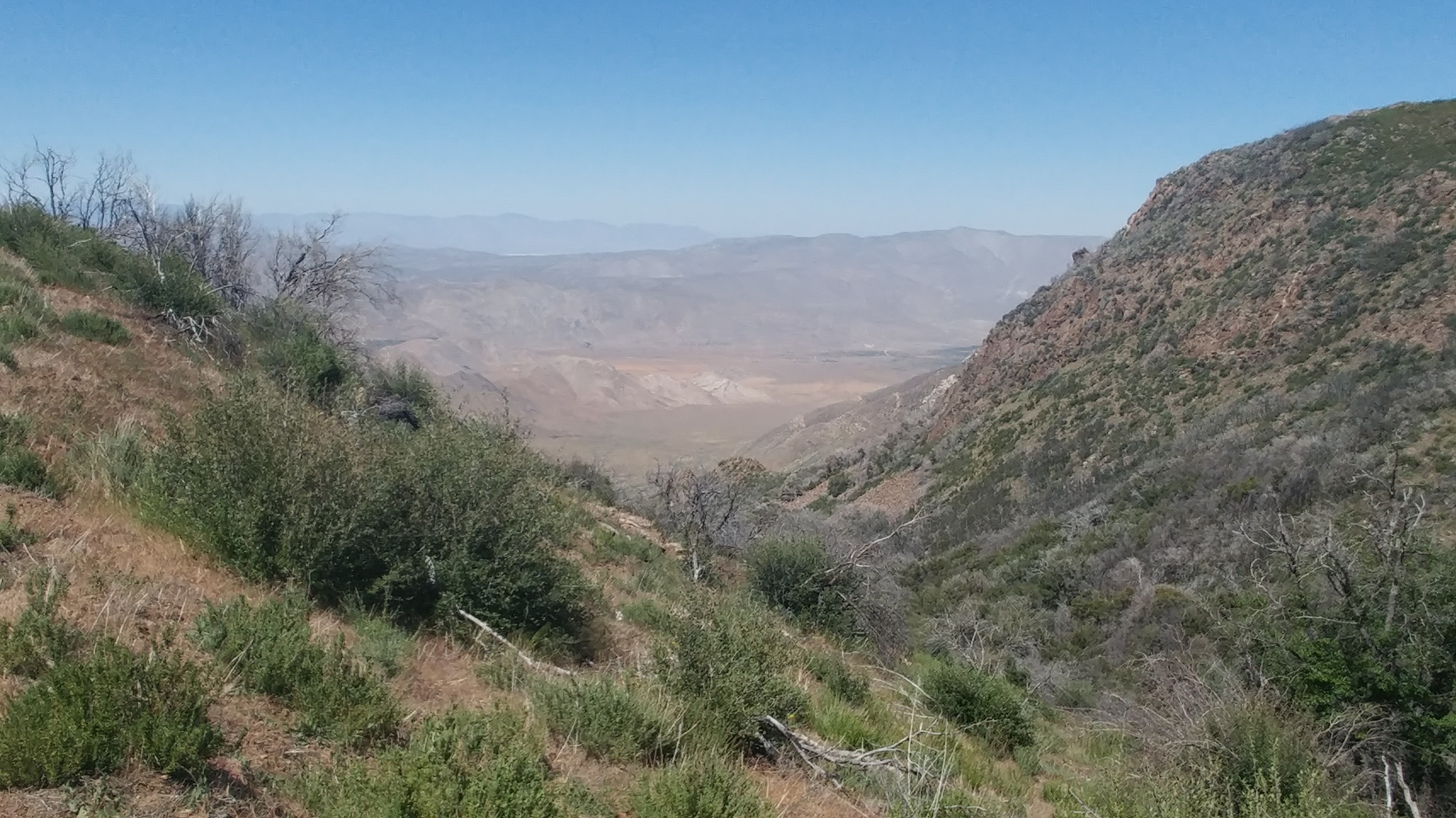
South of Shenandoah you hit real elevation (this side of the Mississippi) again (4000+ feet) for the first time since either Massachusetts or Vermont; there are some great views and climbs around The Priest in that area. You’re hiking in the vicinity of the Blue Ridge Parkway, and unfortunately hitchhiking is prohibited along that road, so travel to resupply is slightly more difficult if you’re going far enough to need to do that. Fall apple season is pretty good as you walk by a lot of wild apple trees.
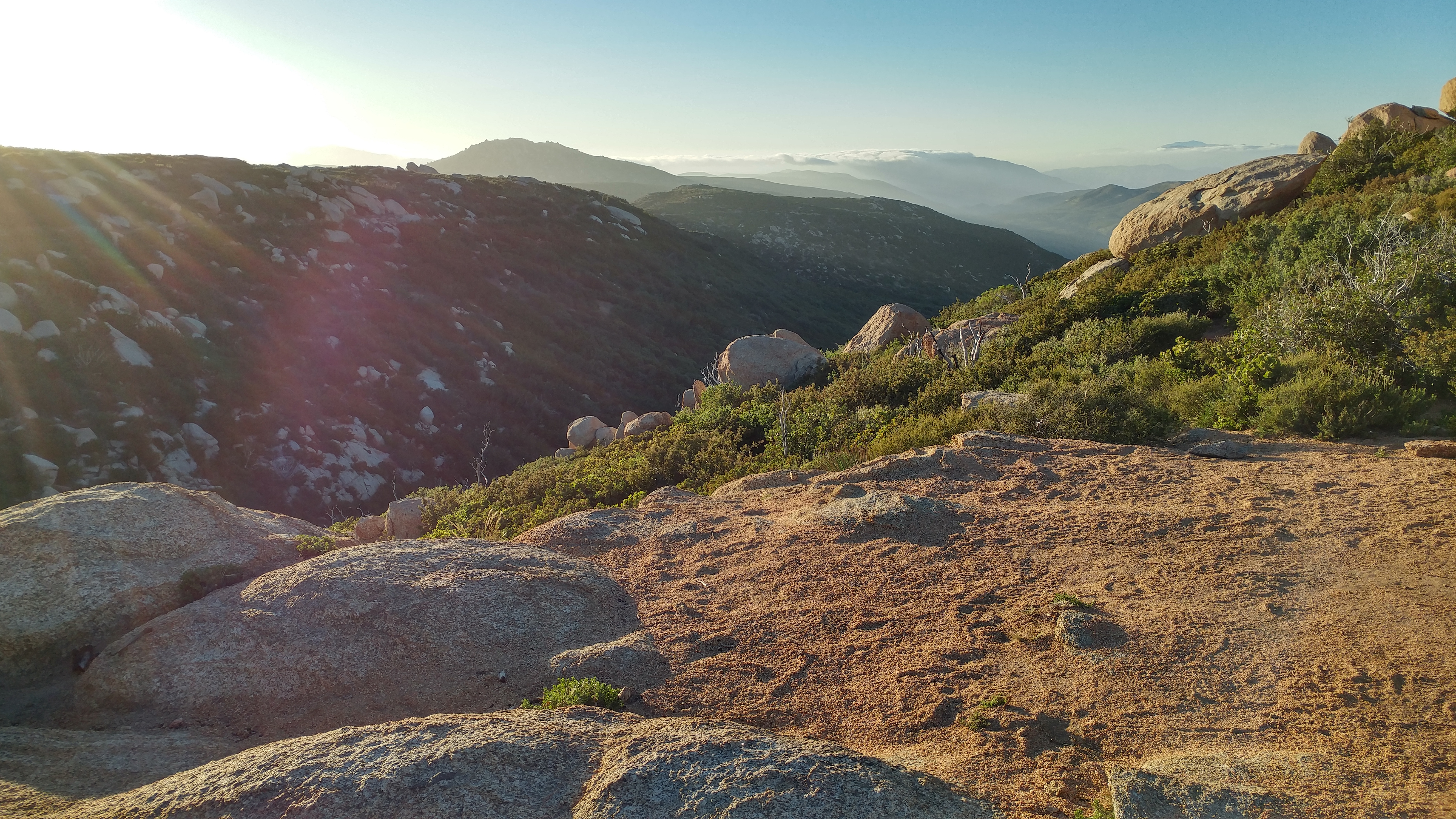
South more past Daleville and beyond the BRP is a nice section with the Tinker Cliffs, McAfee Knob, and Dragon’s Tooth — a very nice section of trail with some good scenery, but there’s elevation change to deal with. It’s not Maine, so there are switchbacks, and it seemed pretty nice overall to me, if slightly tiresome. South of that thirty or forty miles is mostly unremarkable down to Pearisburg, VA.
South of there is nice but not particularly memorable until you hit Mount Rogers National Recreation Area. There’s about sixty miles from there south to Damascus, VA and the border with Tennessee that’s pretty nice — good views, feral ponies to keep you company (I kid you not), and still a bit of openness. Damascus is super-friendly, and a church in the area runs a hostel for hikers (they ask $10/night donation as I recall).
Tennessee
Damascus south into TN has a very nice stretch of trail where, for about 100 miles, there’s a hostel every 25 miles. Whether this appeals or not probably depends to a good extent on whether one is a thru-hiker or not; a group a bit ahead of me stayed at all four on consecutive nights, but I delayed for a long time at the first one (Kincora, vaguely near Hampton, TN) for too long talking to Bob Peoples, the guy who owns it (extremely well-known trail maintainer, awesome guy), so I only stayed at three of them, with one skipped and those “two” days covered in three. There’s some nice trail in this area passing through the Roan Highlands, a series of treeless balds at reasonable elevation (not above treeline, just covered in grass for unknown reasons). Down from there to Hot Springs is decent — you get nice sidewise views of mountains and such — but not great. Hot Springs to the Smoky Mountains was unmemorable, but that’s probably partly because I did it in roughly a day to get to a hostel just outside it.
The Smoky Mountains
The Smoky Mountains aren’t all that fun. Maybe if you visit during the week it’s okay — if you’re a thru-hiker, and only in the fall — but the system they have is very rigid and structured because they can’t handle people showing up whenever. You have to get a permit and make reservations to stay at specific sites, and it’s not at all conducive to just hiking what you choose to hike. It’s also crowded; I’d avoid it.
North Carolina
The pure North Carolina section (the Smokies and a bit previous follow the border more or less) is pretty nice, but it has elevation. I’d say Sassafras Gap Shelter south to Siler Bald Shelter is a nice thirty or so miles; that’s probably influenced by my having hiked them during spring break previously, so it was fun to look at what I’d hiked previously (and laugh at how much time it took to do it).
Georgia
Georgia’s decent — you pass over several mountains and have good views — but at least when I was there it was pretty windy, excepting my very last day, thankfully. It’s only 70 miles, so there’s not a whole lot of it, and I was eager to finish (for more than just finishing, too, as I’d scheduled a plane flight earlier than I should have and ended up hiking 32.1, 29.9, 17.8 [through constant rain], and 30.5 miles my last four days to make a plane flight out of Atlanta — not exactly a leisurely end to it all). Also, Springer Mountain at the end is in the middle of nowhere, and it takes a considerable amount of effort to get back to civilization from it.
Conclusion
I think Vermont was the best state of the trail. It had good hiking, mountains, views, not too many people, and friendly towns and hostels off the trail. I’d recommend hiking there, personally, but if something else here strikes a fancy, go for it. As they say on the trail, Hike Your Own Hike.