25.11.10

John Muir Trail: Thousand Island Lake to Squaw Lake

September 14

(17; 0 side; 60 total, 151 to go)

A pre-dawn panorama from my campsite of Banner Peak and the surrounding area

As planned I wake up early enough to catch the tail end of darkness before sunrise; this being the middle of a fairly large valley, I should be able to see it unimpeded. Surprisingly, given last night, little wind blows past the lake, and it’s much more comfortable than it was or than I had expected it would be. The sunrise is excellent but blinding; my camera has some difficulty capturing both brightness of the sky and comparative darkness of the ground. Nevertheless, I take a few pictures as I huddle inside sleeping bag and bivy sack waiting for the sun to rise to provide warmth to leave them.

Hiking poles lean against a rock in the foreground, while in the background brightness limns the surrounding hills
The light, it burns!
Banner Peak in the lingering stages of dawn
Banner Peak greets the early-morning sunlight

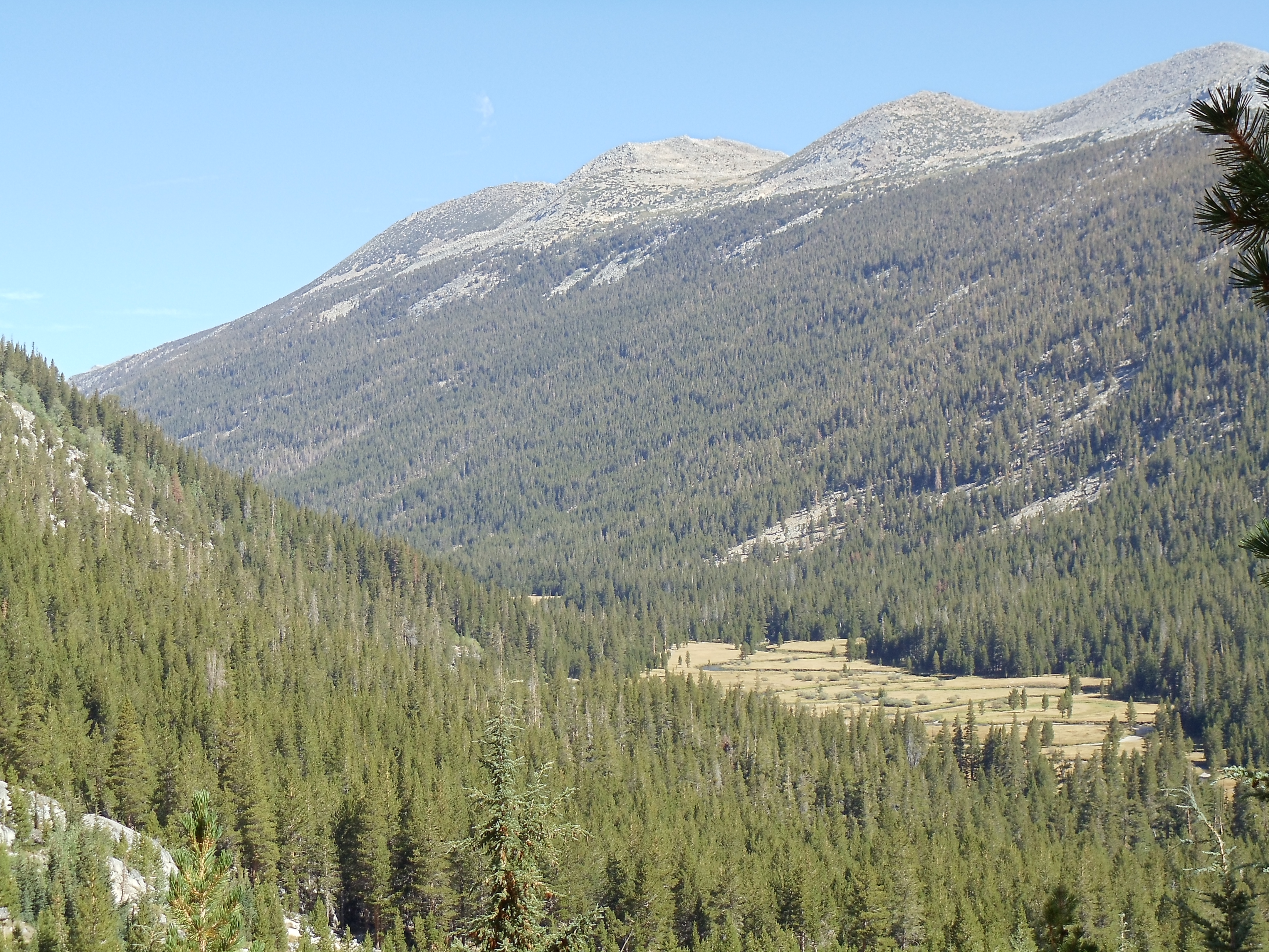
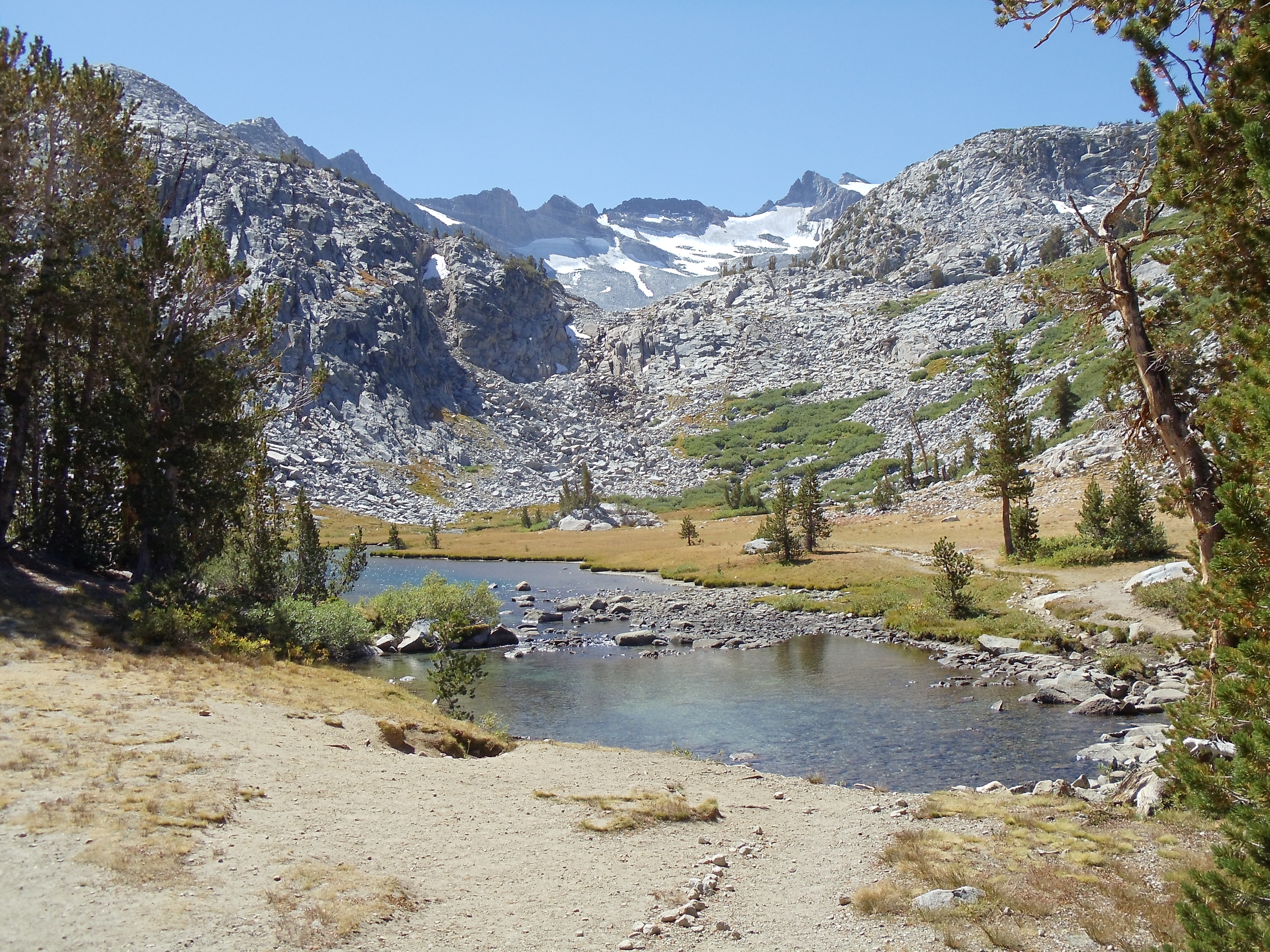
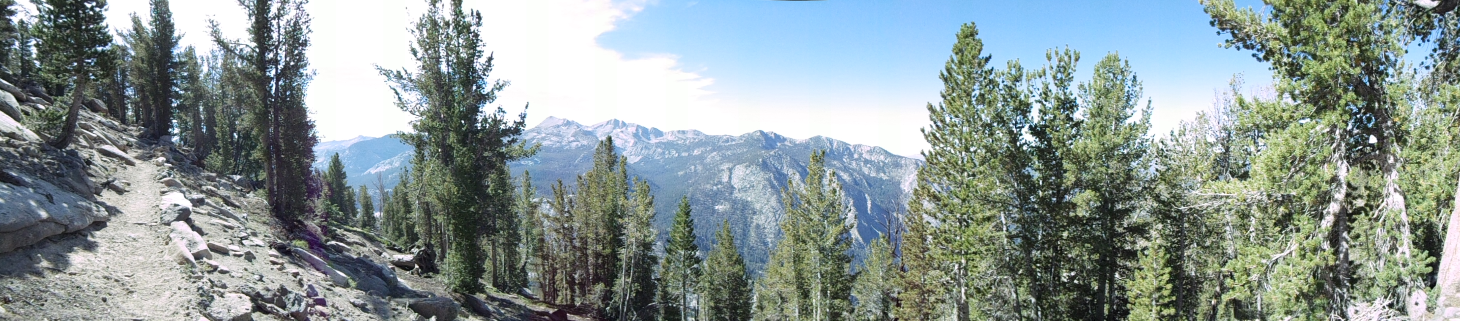
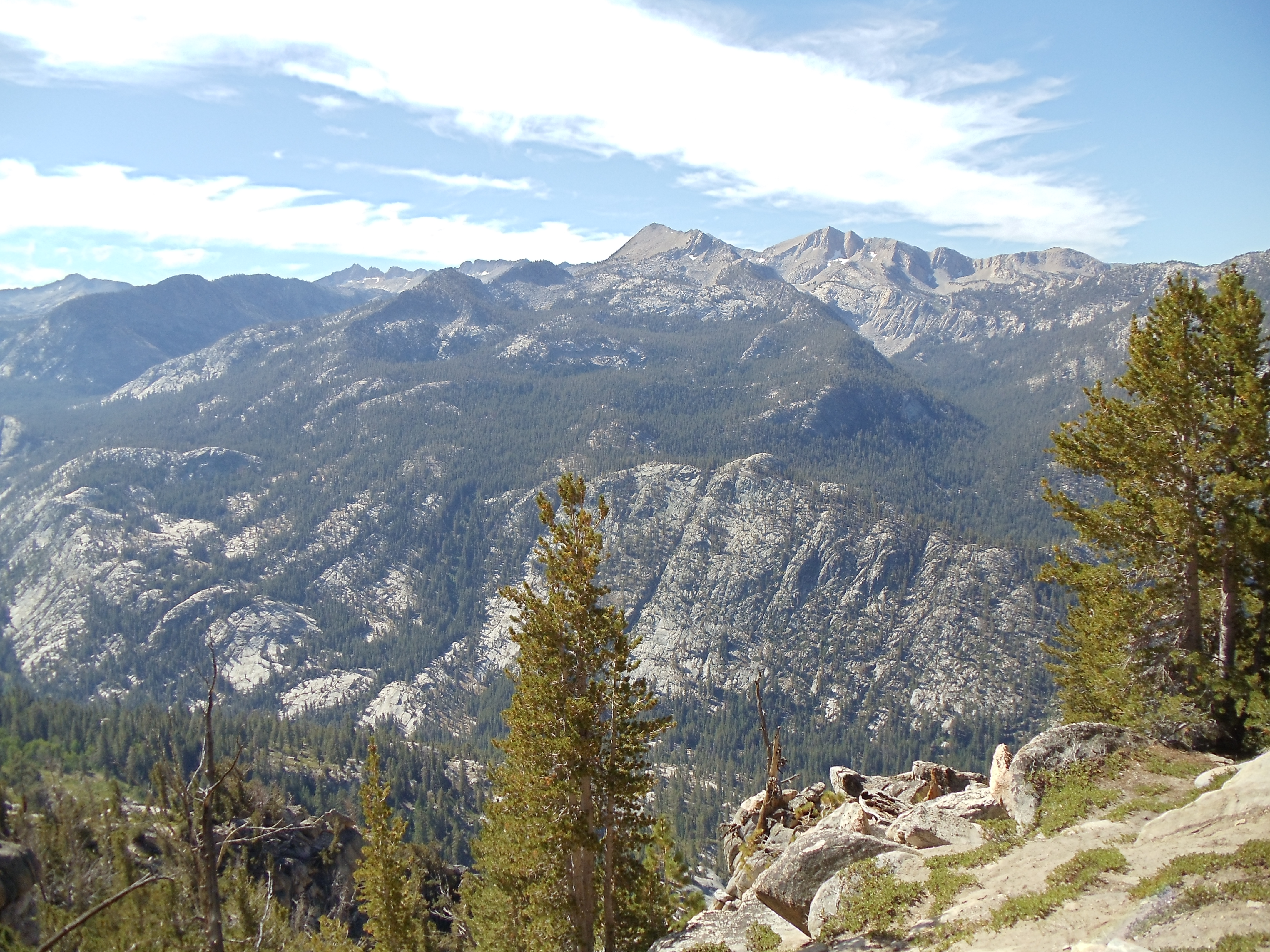
Hiking begins relatively early today, in accord with rising for an early sunrise. The first several miles of trail wind around several lakes named for gems, climbing up and over and down ridges along the way. Today is the fourth day of hiking, and my ankles are beginning to adjust to the inclines and constant pounding through which I’m putting them. But for now, I’m far more engrossed in enjoying the thoroughly ridiculous scenery than in feeling any lingering pain.

Teal-blue Ruby Lake, ringed by cliffs and a gently sloping trail through trees
Ruby Lake
Reflections and color against the shallows of Ruby Lake; fallen trees and the occasional small rock are clearly visible against the soil floor
Reflections and color against the shallows of Ruby Lake

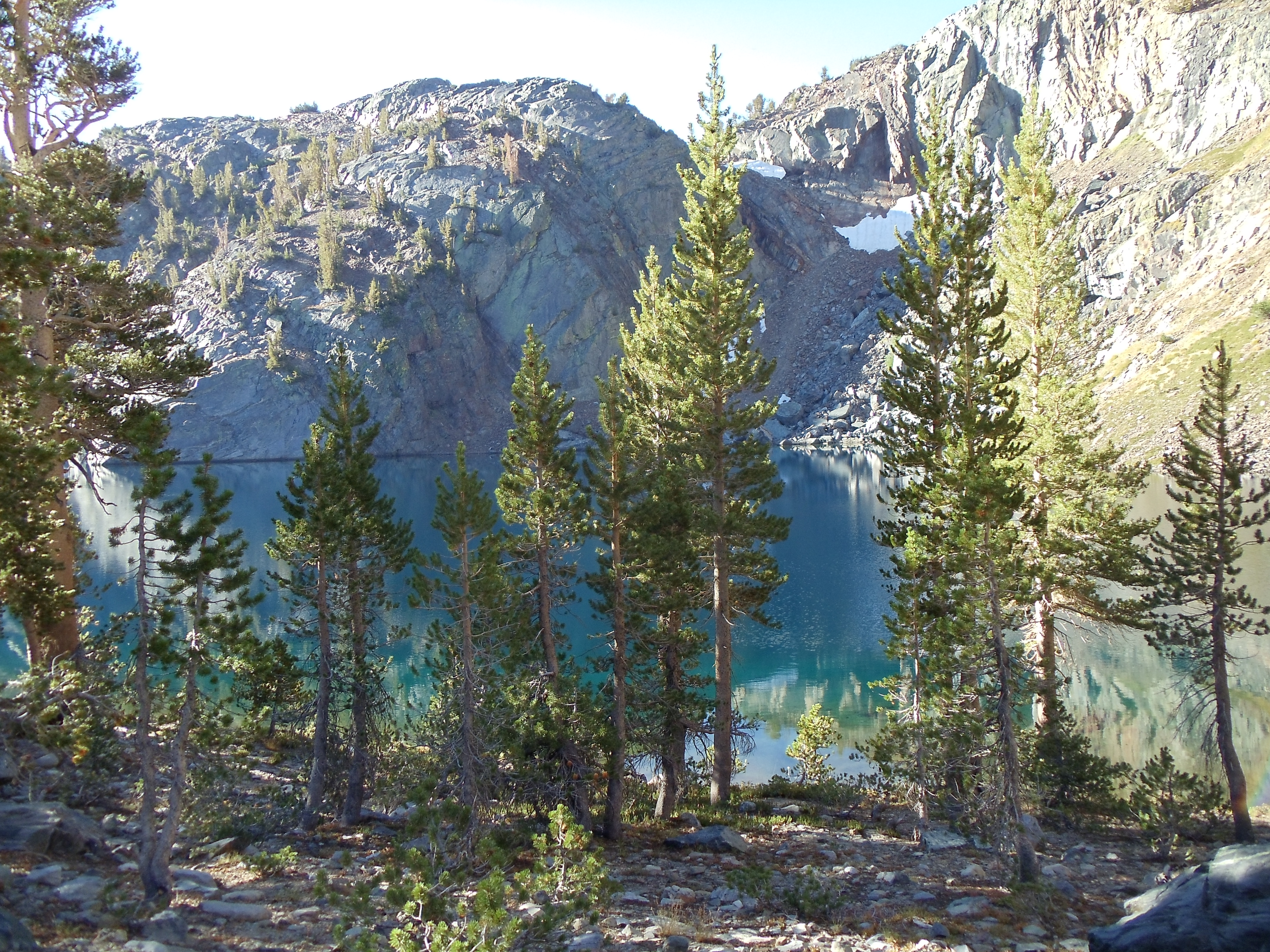
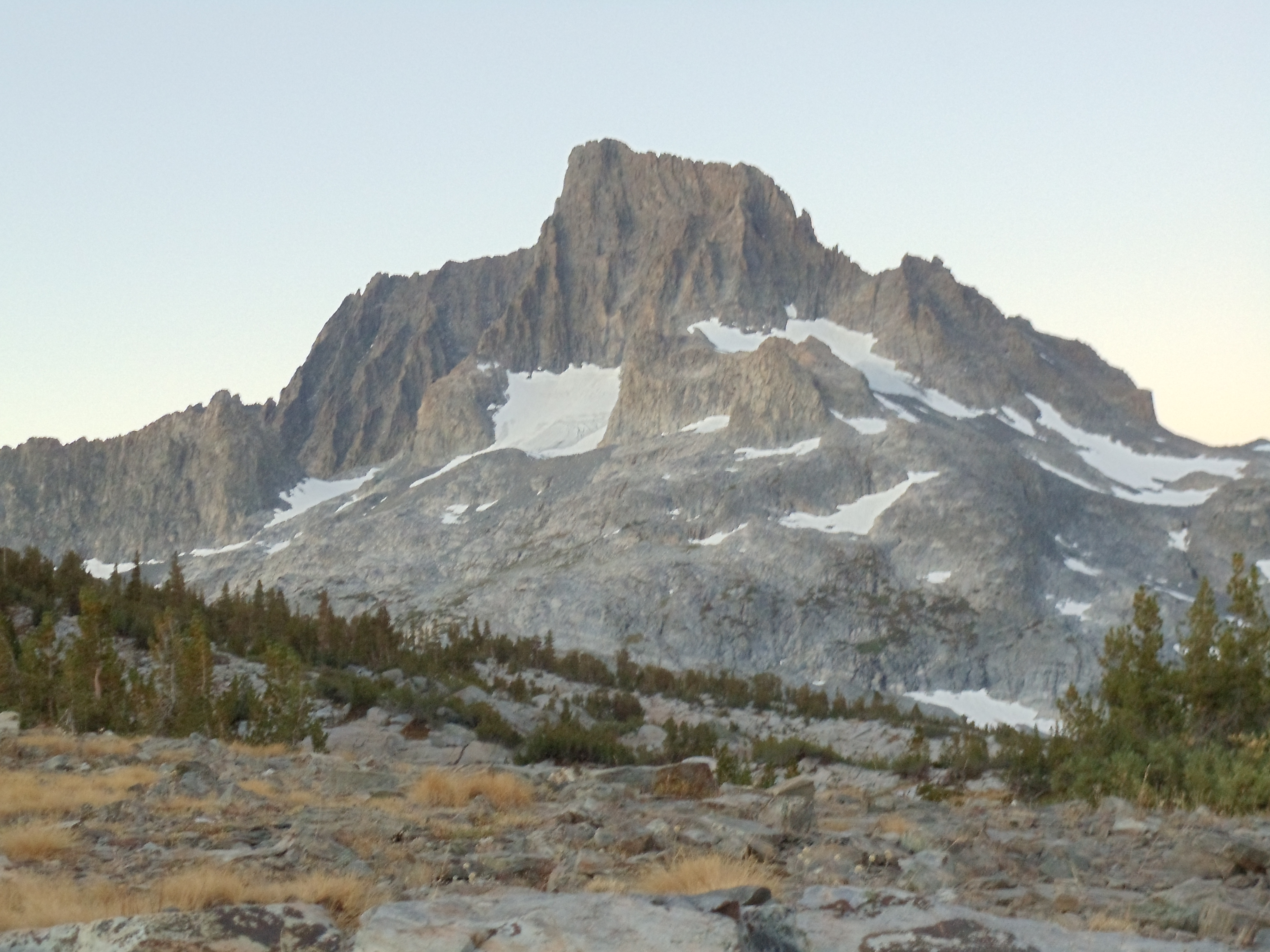
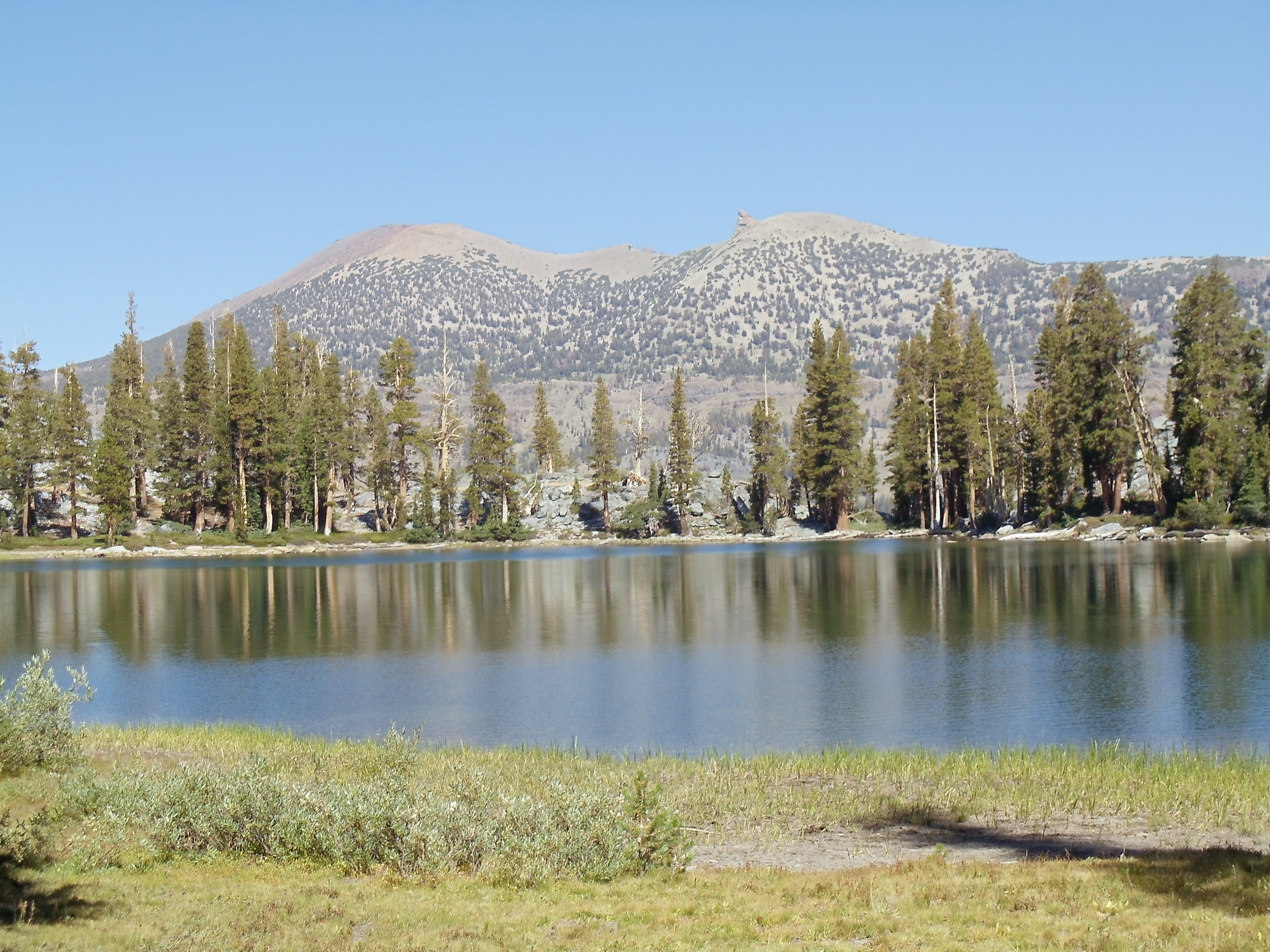
The largest of the precious-stone lakes, Garnet Lake, provides the greatest views. It dominates the landscape through its size, and its gently-rippling waters are a blurred mirror for the peaks in the distance behind it.

Mount Ritter and Banner Peak, seen over the rocky shore of Garnet Lake
Mount Ritter (left) and Banner Peak (right), seen over the rocky shore of Garnet Lake; curiously, Mount Ritter is the taller of the two — a matter of perspective

(Interestingly, my first picture of it and the mountains in the background is a near-exact copy of the cover of the guidebook I carried, even though I didn’t intend to precisely replicate the picture. [I probably aimed for the general idea — towering mountains above lake with some ground and trail in the foreground — but I didn’t notice the exact spot of that picture was mere steps away, even though I usually try to look for the settings of pictures in guidebooks I use.] The guidebook picture is obviously older, but beyond that the major difference is that my picture captures reflection in the lake while the guidebook doesn’t. I suspect it was deliberately airbrushed out of the picture to reduce busyness.)

Looking across the eastern expanse of Garnet Lake toward its outlet, crossed by a barely-visible wooden bridge
Mount Ritter and Banner Peak, mirrored in Garnet Lake; the mirror effect progresses from near-perfect closest to the camera to significantly blurred in the distance, as slight ripples in the water accumulate to distort the reflection
Mount Ritter and Banner Peak, mirrored in Garnet Lake, from near the footbridge across its outlet

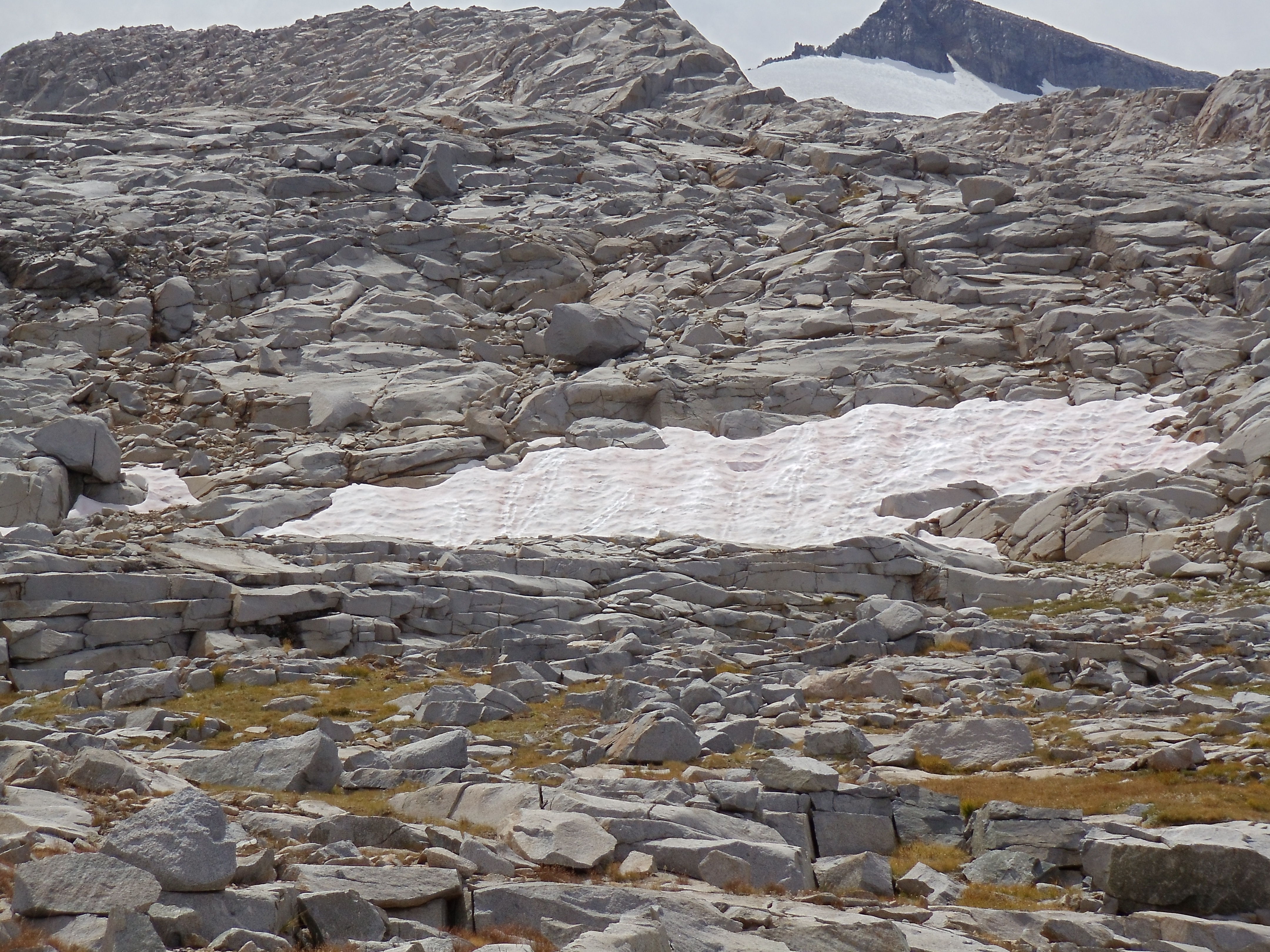
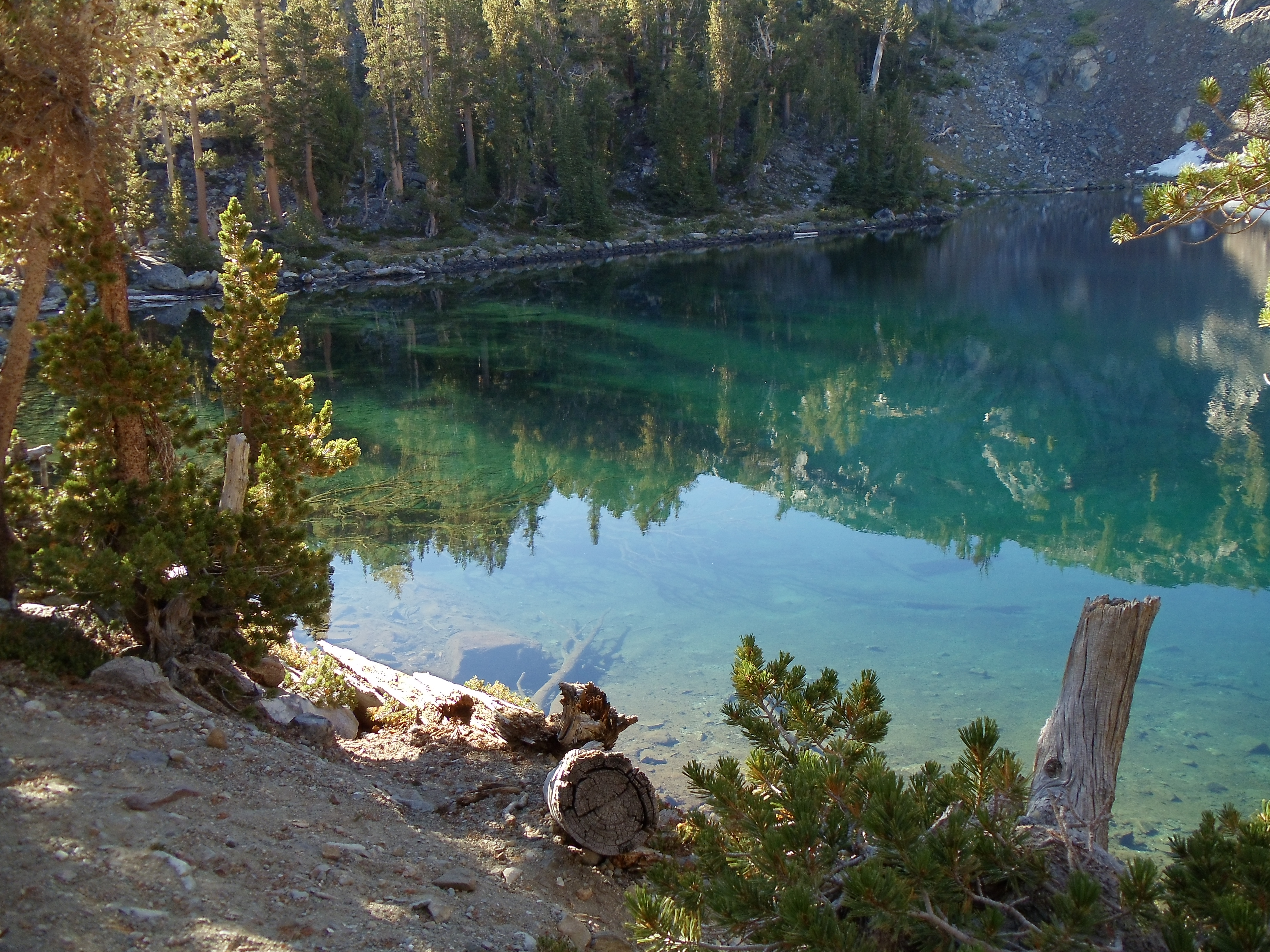
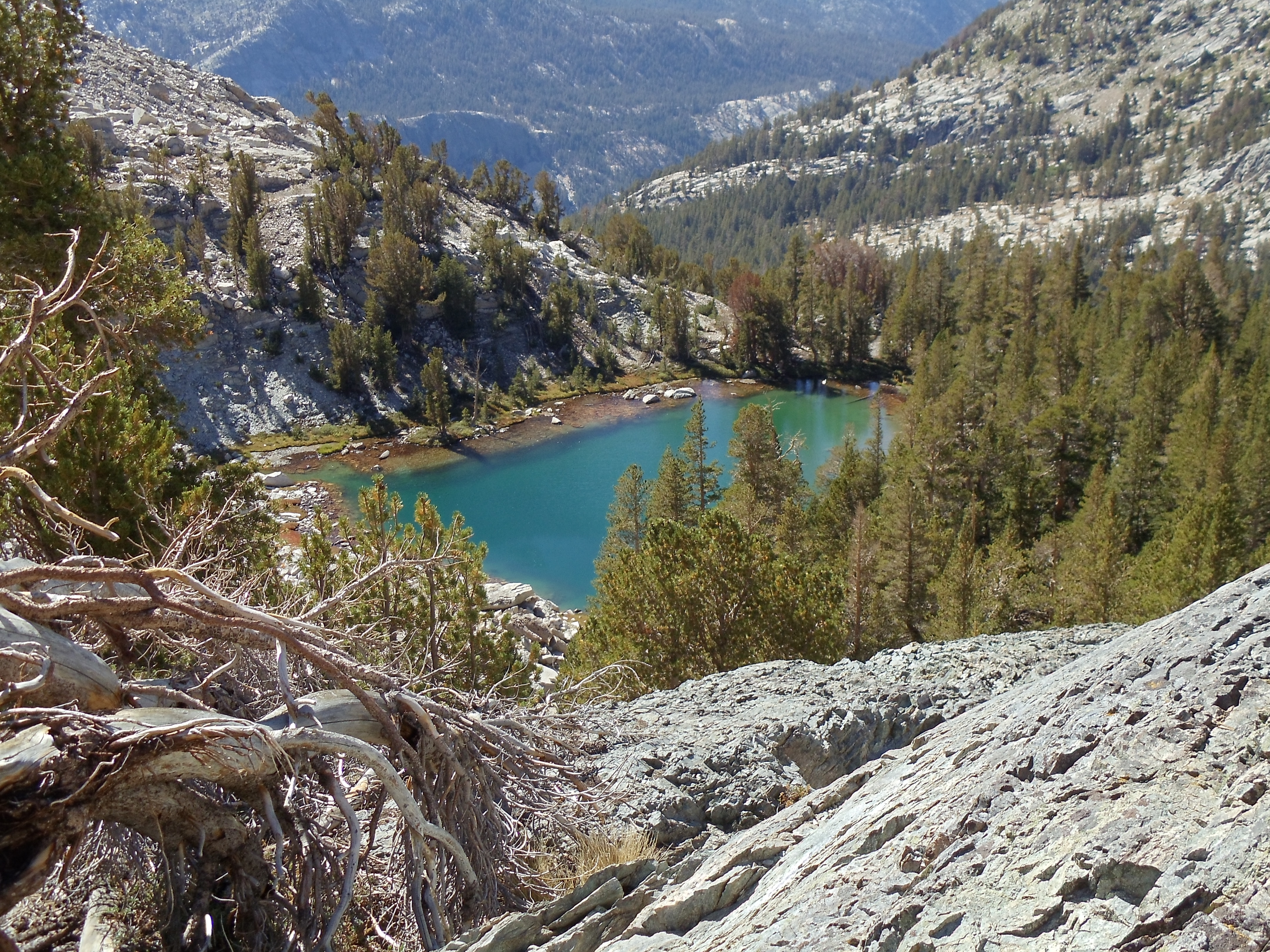
Past Garnet Lake the trail ascends out of Garnet’s bowl, then generally descends on the way toward Devils Postpile National Monument. I pass by more lakes, none of which strike me enough to merit a picture.

The start of the descent past Shadow Lake toward Devils Postpile; far in the distance lies the black Volcanic Ridge
This descent, covered in baseball-sized rocks as it is, reminded me of some of the worst stretches of the Appalachian Trail in Pennsylvania *shudder*
Shadow Lake is surrounded by mountains, except for its outlet near a notch
Looking down toward Shadow Lake
Looking across Shadow Lake toward mountains within a few miles of it
Looking across Shadow Lake, with San Joaquin Mountain and Two Tears/Two Teats (web searches find both names: maybe it was bowdlerized?) in the distance

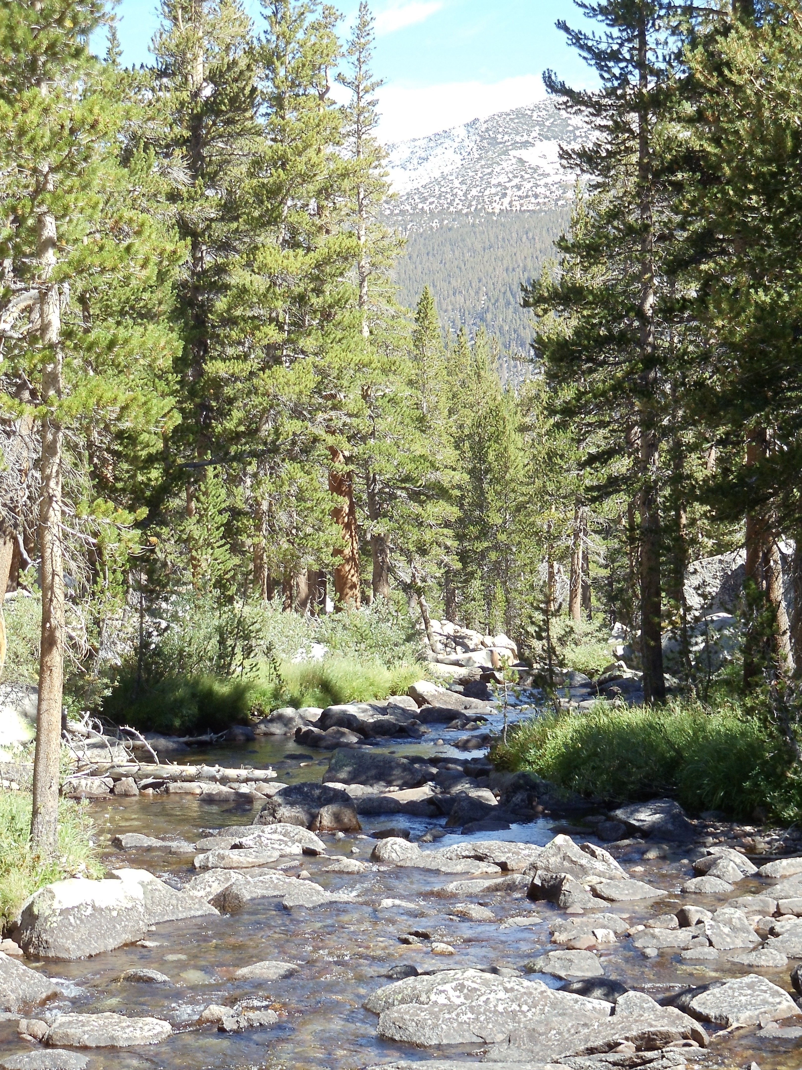
Just past one stream crossing I wander by another deer. Unlike previous deer on the JMT, this one cautiously watches me as I stop and take its picture, starting briefly at my experimental, abrupt move intended to gauge its reaction. Yet as with earlier deer, it generally ignores me. In the past I’ve considered this unnatural: wild animals should be afraid of humans, and they should retreat when humans approach. Yet this deer makes me reconsider. The primary problem with Shenandoah deer (often brazen beggars) was not their willingness to be near humans: it was their willingness to be near humans to beg. Proximity, and even some level of ease, is not inherently bad. The problem occurs when this is taken for granted: then, fearlessness and misguided beneficience produce a vicious cycle by which wildlife becomes no longer truly wild.

Shenandoah is too easily accessible for wildlife’s cautious acceptance of human presence to be workable. Throngs of visitors will to a sufficient extent ignore signs, act carelessly, and inexorably lead deer and other wildlife to mendicancy. In Shenandoah it really would be better for deer and other wildlife to be fearful of human presence to the point of fleeing it. (Bears in Shenandoah actually do this, mostly, I suspect, because SNP deals with problem bears much more aggressively than it deals with the vastly greater multitude of problem deer. Of course, bears being much more fearsome than deer also reduces interaction. 😉 )

But in many sections of the John Muir Trail, in the middle of remote wilderness, the deer that turns a wary eye in my direction yet continues about his business presents no problem. Nor does he induce any. Backpackers generally well-educated about interacting with wildlife (and usually not carrying food to spare!) won’t be much of an issue. Horseback visitors from nearby Devils Postpile are inherently hindered from over-close interaction, and they’re often supervised by informed guides. Less-educated day hikers are most problematic, but fewer of them will be here simply because it’s difficult to get to much of the JMT, severely blunting their ill effects. Complete lack of fear in wildlife is likely unworkable; it lowers barriers to interaction too far. But wildlife’s cautious acceptance along the JMT of human presence at a small distance, so long as the JMT remains remote, is a fragile yet stable equilibrium.

A deer eats of the grass and greens in front of it
The aforementioned deer

After much more descent I finally reach relatively flat ground: Devils Postpile National Monument is at hand. Devils Postpile’s main attraction is its bizarre natural rock formations: tall, regular hexagonal basalt columns (other sidedness less frequently) formed by volcanic action. The JMT passes through Devils Postpile’s periphery, so I’d have to detour to see the formations, partly contributing to my decision not to go see them. But more than the delay, I decide not to go because the monument feels like it’s a Pacific Crest Trail experience, not a JMT experience. If I’m not deliberately visiting Devils Postpile, I’m going to leave seeing it for when I thru-hike the PCT. (For the same reason you won’t find me hiking a section of the PCT to hike it, except as part of a thru-hike.)

Boundary sign for Devils Postpile National Monument, indicating the dividing line between it and Inyo National Forest
Now entering Devils Postpile National Monument
Trail sign: Muir Trail to left and straight ahead, Pacific Crest to left and to right
The trail north bifurcates as the JMT winds around several lakes while the PCT travels the crest

I follow the trail through Devils Postpile, guided mostly by a picture I took of the map at a trail junction shortly inside it. (The guidebook strangely foregoes a map to awkwardly describe it in prose, making it less useful and more confusing than one might hope.) It’s mostly deep sand, so the going is a bit slow. Finally, I reach the turnoff to visit Reds Meadow, a campground, store, and restaurant just off-trail where I hope (likely quixotically, given the wide variety of digital cameras and batteries) to find a replacement camera battery. The meter on my camera’s been declining much more quickly than I’d expected, so I’m worried about running out partway down the trail and thus missing the end. I’m not in luck: the store has nothing more than standard batteries and regular rolls of film. I consider eating dinner at the restaurant, but I propel myself southward in hope of reaching a camping spot with some daylight. It’s now 17:00, and if I move quickly I can reach Crater Meadow in daylight.

The San Joaquin Fork heads south to Rainbow Falls seen in late afternoon from a footbridge on the JMT
The San Joaquin Fork heads south to Rainbow Falls

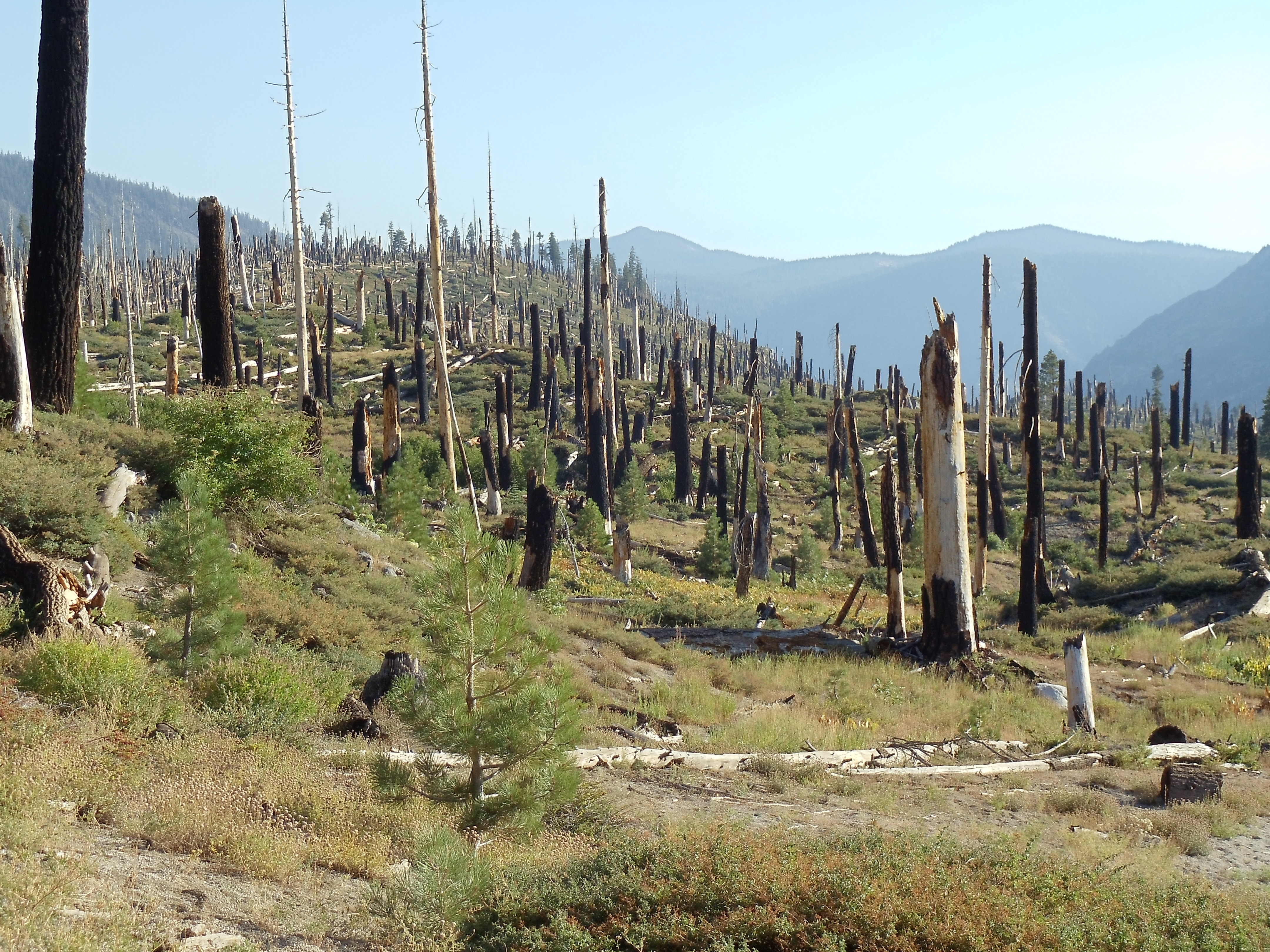
Trail south of here turns a bit eerie as I pass through the remains of a forest fire eighteen years ago. Blackened trees are everywhere, but smaller growth abounds. The trail curves through the area before heading up into the mountains again, and I hit a solid pace as I push to the end of the day.

Numerous short (under twenty feet) denuded, burnt tree trunks cover the hillside; new tree growth is mostly limited to small (no taller than a person) conifers, amidst grass, shrubs, and other ground growth
The tree cemetery south of Devils Postpile, devastated by the 1992 Rainbow Fire
Reddish-yellow spiky berries surrounded by small green leaves
Edible (insides only 😉 ) reddish-yellow gooseberries; if only I'd known what they were, and that they were edible, at the time...

The trail leaves the burned area and starts ascending, and I notice a few decent campsites. However, having noted Crater Meadow as a goal, I feel compelled not to stop until I reach it. It starts to get dusky as I finish out the day, but I make it to a campsite near a small river crossing with light to spare and call it a day. The site’s partially occupied by Michelle, another JMT thru-hiker (albeit one starting from Tuolumne Meadows due to scheduling mishaps, hiking the entire stretch without resupply — a very aggressive pace/load that’s still not inconceivable). She’s started a small campfire, which provides for a nice break from my usual habit of not having campfires while backpacking. I eat dinner and we talk off and on as night falls.

I’m still carrying that boxed wine, but there’s a lake roughly a day’s hike from here. Maybe I can break it out tomorrow night, cool it in the lake, and finally get rid of its weight with dinner.

September 15

(18.5; 0 side; 78.5 total, 132.5 to go)

It’s up and out around the usual time this morning. Michelle and I end up leaving about the same time, but I overtake her shortly as I move faster with much less food to carry. I speed through the first six-odd miles of the day: there’s some scenery but no water, so I have little reason to stop.

Mountains in the distance, framed by pine trees
Double Peck East, seen over Cascade Valley from the JMT as it carves across a mountainside near Mammoth Crest
The trail continues south at far left; panning right the view passes Double Peck East and other mountains before concluding in tall evergreen trees
A panorama of Double Peck East from the trail
Mountains in the distance after an evergreen-covered valley just below
A less-obscured view of Double Peck East

Duck Creek ends the drought, and even though it’s a little early in the day I take the opportunity and stop for lunch, Michelle passing me as I eat. Readily-available water is always good at mealtime, especially as tortillas with thick peanut butter or Nutella contain little water. I continue south again after lunch, curving around a small mountain before descending to Purple Lake. It looks like a nice camping spot, if I had reached it at the end of the day. I exchange pleasantries with a few people near the lake’s outlet, learning that Michelle is shortly ahead of me, and ascend again toward windswept Lake Virginia, passing Michelle along the way. Lake Virginia’s slopes are much flatter than those of other recent lakes, probably because it’s a larger lake.

The teal lake is surrounded by rocky slopes sprinkled with evergreens
An unnamed lake/pond south of Purple Lake
A small boulder-strewn depression just adjacent to the trail; the granite blocks remind me of toy blocks
A youthful giant's playpen

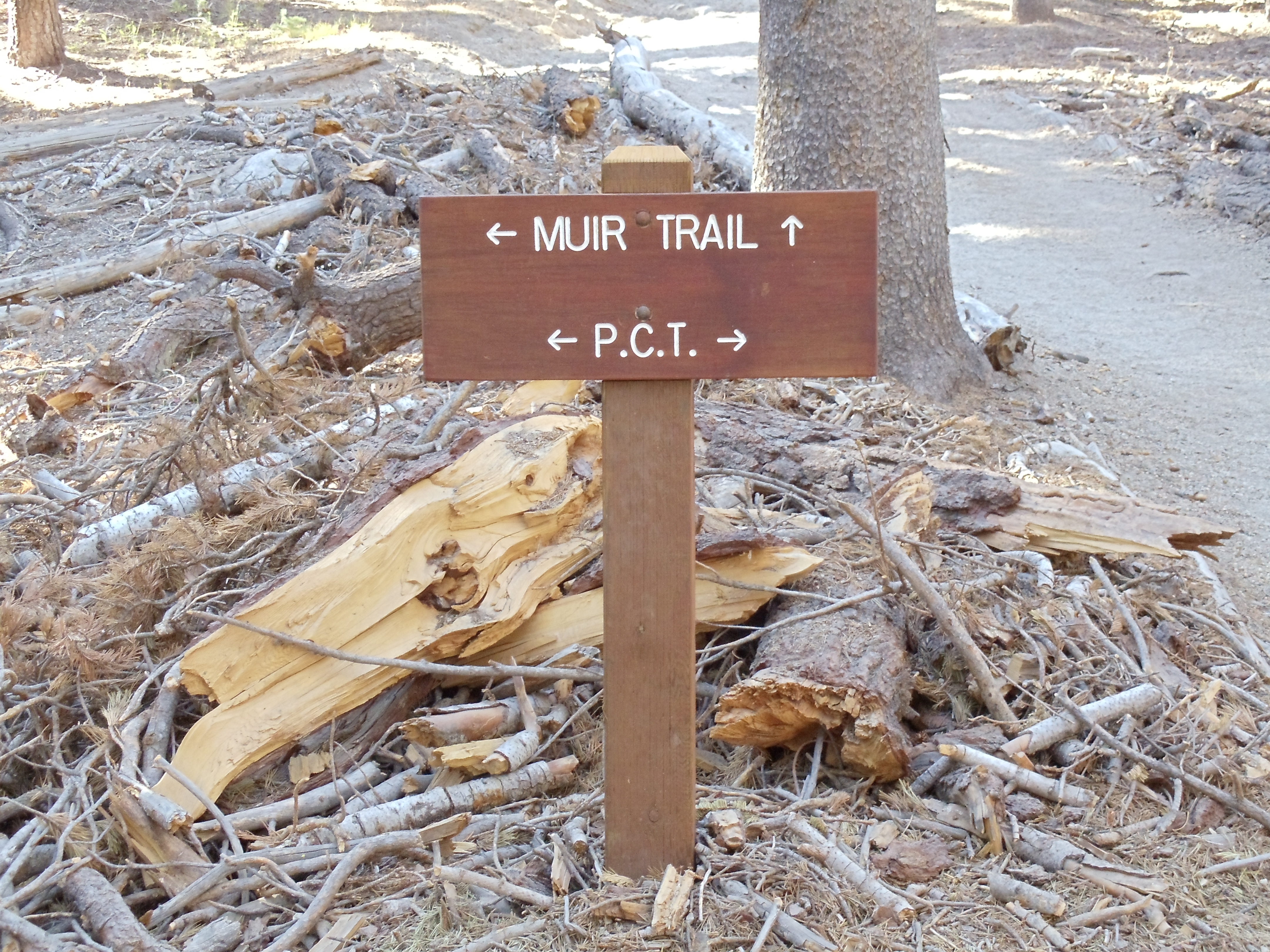
Past Lake Virginia the trail switchbacks steeply descending into Tully’s Hole, then follows a creek to a trail junction. It’s around 17:00 now, so if I move quickly and keep moving I should reach Squaw Lake a bit short of nearby Silver Pass with daylight to spare: just about perfect for lightening my pack of a liter of wine. I do so, arriving at the sublime Squaw Lake shortly after 18:00.

A massive wall of rock, dotted with pine trees, makes up the backdrop for Squaw Lake, in the foreground, as dusk approaches; the sun has set far enough that land before the lake is in shadows, while the lake and slope behind it are yet sunlit
Squaw Lake against the mammoth expanses of part of the Silver Divide, from the rocks where I stayed for the night; that's Michelle in the bottom right, with her tent just barely in view in the foreground in the bottom left

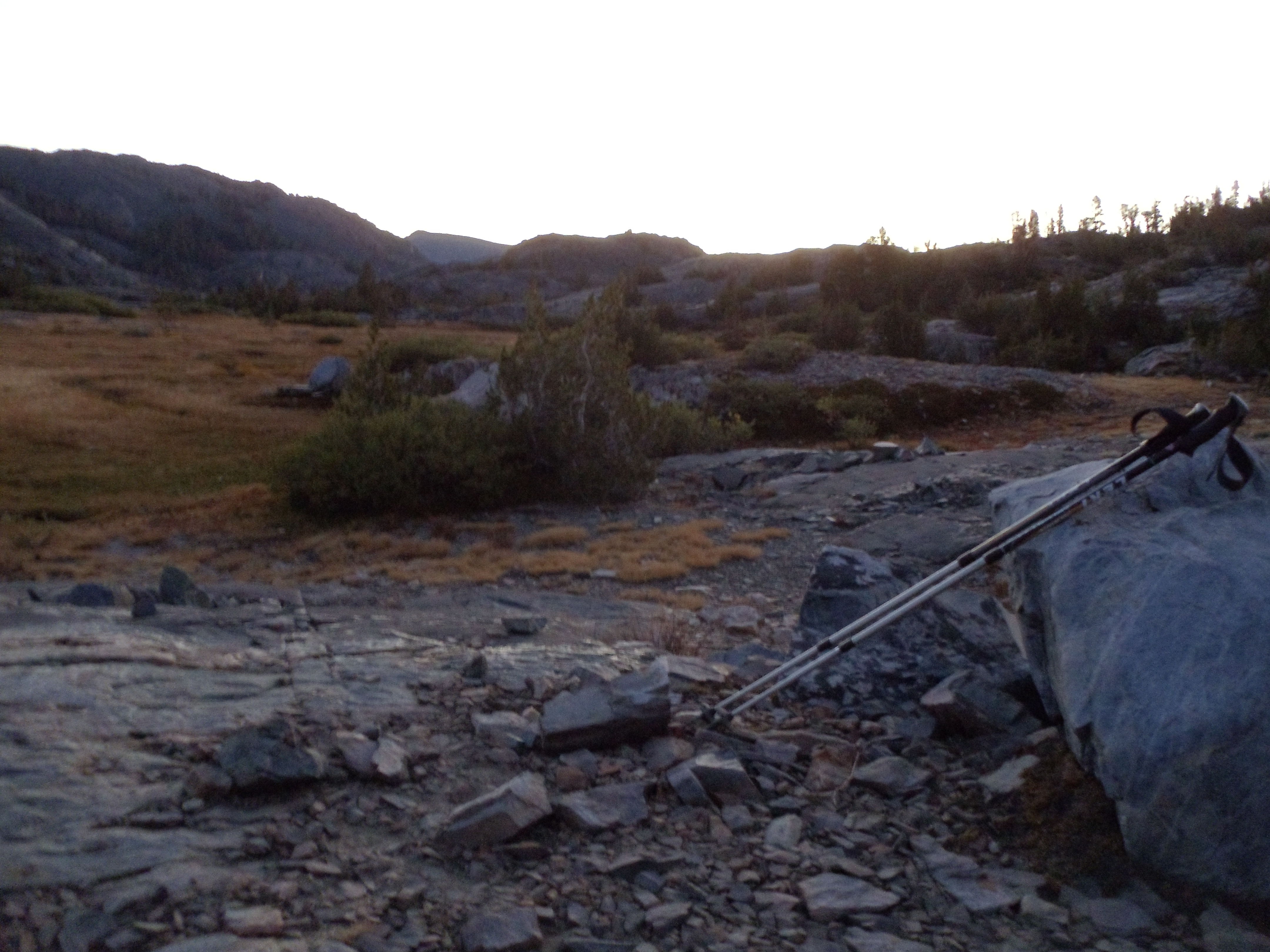
I scout around for some sort of decent campsite before settling for bare rock halfway between the lake and the trail proper. (Bivy sacks are versatile — and mine is certainly more versatile than my non-freestanding tent.) Michelle arrives and contemplates continuing to Pocket Meadow, which looks to be about five miles south (most of which she’d be traveling after dark) before deciding to stop here as well.

Dinner is scampi (Knorr pasta as always) with salmon and a splash of pinot grigio. I have no idea whether I’m significantly improving the taste, or if I’m adding the optimal amount at the correct time, but I figure I can’t go wrong (and in any case, there’s nothing wrong with the placebo effect 🙂 ). I have more than I really need to drink, so it’s painless to experiment. Michelle also takes a splash in her dinner since I have so much.

I finish off dinner, then the remaining part of the liter, as darkness falls. But it’s not dark! Entirely by accident I have scheduled my hike to occur during the moon’s waxing phase, ending a couple days into its waning phase. (I don’t believe I could have timed my hike any better if I’d tried.) The moon is large and bright in the sky, enough so that I eventually turn off my flashlight as darkness falls; I really don’t need it to see as long as I don’t have to walk around much. Once I finally finish off the wine it’s off to sleep underneath stars and moon by an alpine lake. Can it get any better than this? I am extremely hard-pressed to think how.

…but, as has happened before, this is not the end of the day! Around 03:00 I wake up to the flashlights of two hikers passing from the north. They don’t stop, perhaps recognizing a campsite with sleeping hikers when they see it, and I’m in no mood to wake up and find out why they’re hiking now, so back to sleep I go.

07.11.10

John Muir Trail: Lyell Canyon to Thousand Island Lake

September 13

(13; 0 side; 43 total, 168 to go)

Deep in Lyell Canyon sunrise starts at its usual time, but direct sunlight doesn’t reach the floor until hours later. I eat my breakfast near the campfire with the other nearby backpackers, and we have some reasonable conversation as I eat my oatmeal. The fire provides a nice bit of warmth in the not-quite-sunlight. Once food’s finished it’s time to head back down the trail to wherever I end up today.

A grassy meadow near the southern end of Lyell Canyon, just before the ascent to Donahue Pass starts
The trail continues to wind through Lyell Canyon a little longer
Lyell Canyon and Lyell Fork running down it, with Kuna Crest in the background
Lyell Canyon, through which the serpentine Lyell Fork passes, seen shortly up the ascent toward Donahue Pass

My stumbling continues, but when the ascent out of the canyon starts it necessarily slows as the trail begins crawling up and over rocks. I pass by a couple also doing a thru-hike of the JMT at one point; they’ve been out since a little before me, and they plan to leisurely hike the trail into early October. We leapfrog a few times until I pass them for a final time after lunch today.

Lyell Fork, from a bridge partway up the ascent out of the canyon
The majestic Lyell Canyon and the surrounding mountains
The majestic Lyell Canyon

The ascent continues past several tarns, mountain lakes fed by glacial runoff. The lakes are connected by the Lyell Fork, which is much smaller at this elevation than it was from even the earlier bridge (let alone the canyon itself). It’s also much smaller now than it was a couple months ago; this late in the season I can cross it on rocks without getting my feet wet.

Along the upper Lyell Fork toward Mount Lyell and Mount MacClure
Along the upper Lyell Fork toward Mount Lyell and Mount MacClure; I believe Lyell is the furthest-right peak in this picture
Panorama view just past a river crossing
Panorama view just past a river crossing, 1 of 3; note the camera's image-splicing glitch near center
Panorama view just past the river crossing
Panorama view just past a river crossing, part 2 of 3
Panorama view just past a river crossing
Panorama view just past a river crossing, part 3 of 3
Looking further up near one of the fords of the Lyell Fork
Looking further up near one of the "fords" of the Lyell Fork, which would be far more menacing earlier in the season

Just above the lip of rocks in the near foreground is a flat area with another tarn whose outlet the trail crosses. Now seems like a good time for a lunch break, and I stop and cool off my feet and swollen ankles in the water for a brief moment (this being snowmelt water after all) before I eat lunch. There’s another group of other hikers here already doing the same things I’m doing; they head off before I finish.

A hundred feet of shallow pond lie in front of me, flowing rightward to narrow and flow down; in front is an outcropping of rock, and somewhat to the left and back lie mountains with snow-covered flanks
Lunchtime scenery; yes, the whole John Muir Trail really is like this

After lunch the ascent resumes. It’s pretty gradual as ascents go, which also means it’s rather long. Donohue Pass may be a pass, but it’s not nearly the sight to see that later passes are, clearly occupying a narrow ridge between peaks. It’s more accurate to call it Donohue Plain or Donohue Plateau, I think.

A patch of watermelon-colored snow in Donohue Pass
Algae produce this snow's watermelon coloring and even smell; anecdotally, eating such snow is a good way to get sick, so it's unclear whether the snow tastes like watermelon
A desolate, late-summer alpine pool surrounded by granite rocks
A late-summer alpine pool
Atop Donohue Pass, covered in small granite rocks, looking south down the trail, as I recall
Atop Donohue Plain, er, I mean Pass

Donohue Pass marks the end of the first recreational area the JMT passes through, as I leave Yosemite National Park and enter Ansel Adams Wilderness, not surprisingly named for Ansel Adams, a noted black-and-white photographer of nature, most particularly Yosemite — try a web search to see his work.

A wooden sign marking the entry to Ansel Adams Wilderness and Inyo National Forest
Welcome to Ansel Adams Wilderness

From here south through the end of the day is mostly a blur. The scenery is impressive as always along the JMT, but it is not particularly more memorable than other sections, perhaps because the lakes being passed by are a bit smaller, peaks are further in the distance, and there aren’t many people out and about. My biggest recollection from this descent, and from some others, is of a marmot or two living at high elevation.

A marmot forages for food near ground-hugging alpine vegetation
A marmot forages for food just south of Donohue Pass
A marmot sniffs at a rock
I wonder if this rock is edible...
A marmot sits on a rock with its head perked up
Aroo?

The initial descent from Donohue Pass presents some nice views, and the gradual winding around lakes, over small streams, and through some trees makes for a comfortable, leisurely section. I have no particular goal for the day, but as I approach it Thousand Island Lake seems like a good stopping point: reasonable mileage for the day, going by my map, great views, plenty of space nearby for camping.

A large depression of dry soil, which would have been filled with water a few months ago
It is definitely late summer/early fall in the Sierra Nevadas
A signpost on the JMT and PCT; Island Pass where I'm heading is to the left, Donohue Pass from which I just came is to the right
A signpost on the JMT and PCT; the JMT and PCT follow the same path for around 175 miles, minus a stretch just south of here
An unusual-looking section of tree, clearly cut; the bark is gone, revealing slowly spiralling pencil-thin ridges of wood
An unusual-looking section of tree

I descend near Thousand Island Lake around 17:00, although the lake has been visible for awhile (Banner Peak behind it even moreso). I haven’t filled up on water in awhile, so I’m going to need to do that when I get to the lake, and by the time I reach wherever I end up staying near it the iodine I’ll add to it should have purified it.

Banner Peak towers over Thousand Island Lake
Trail sign at Thousand Island Lake for the PCT/JMT split: the PCT heads straight toward the ridge, while the JMT continues to the right around half a dozen lakes
The PCT and JMT split at Thousand Island Lake for fifteen to twenty miles, the PCT taking a ridge and the JMT winding around lakes and up, over, and through smaller mountains

A handful of lakes in this section of the trail don’t permit camping within a quarter mile of their outlets. I pass by most of those lakes without stopping for the night, but Thousand Island Lake is the one exception. I attempt with partial success to follow the path around the lake past the edge of the no-camping zone, and I reach a flat, rocky area a short distance from the lake itself around 18:00. Daylight disappears as I cook dinner, made slightly more interesting by the constant wind blowing along the lake. Constant wind is the harbinger of a cold night, so I put on some long underwear. I can see more stars in the sky than I’ve seen in a long time, including all of the generally-too-faint-to-be-seen Little Dipper, as I head to sleep.

I took enough pictures this day and the next that each warrants its own post. These days are probably the most gorgeous of the whole trail, but the passes in the latter half of the trail are more breathtaking. (Literally.) This isn’t to say that either is more beautiful than the other but rather to say that they’re beautiful in different ways — about what I’d say if asked to compare the Appalachian Trail to the John Muir Trail. It’s apples to oranges as far as I’m concerned. (What if I really had to choose A.T. versus JMT, with no further distinction? 139 days versus 15 days is a no-brainer. But taken day by day, the JMT easily wins.)